Selling land is not selling apartments with the building removed. The buyer's questions change completely.
Nobody asks for a floor plan. They ask which plots face the main road, whether the corner lot in the second row is still free, how wide the frontage is, what sits behind it, and whether the price difference between two lots forty meters apart is justified. Those are all questions about position, and position is exactly what a price list cannot answer.
A land buyer is choosing a location on a map. Sell it on a map.
Why the PDF and the price list fail together
The standard land sales pack is two documents. A printed or exported layout plan showing the subdivision, and a separate price list with plot numbers, sizes, and figures.
Neither works alone, and together they are worse than either. The buyer has to hold plot number 214 in their head, find it on the layout, judge its position, then go back to the list to check the price, then start again for plot 215. Three plots in, they stop and message an agent. Most never send that message.
Then there is the staleness problem. The layout plan was exported once. The price list was updated on Tuesday. Whether plot 214 is actually still available is knowable only by asking, which means every genuine buyer has to become a phone call before they can make progress.
Two documents that cannot see each other is not a sales process. It is a reconciliation exercise you have handed to the buyer.
What a plot map puts on screen
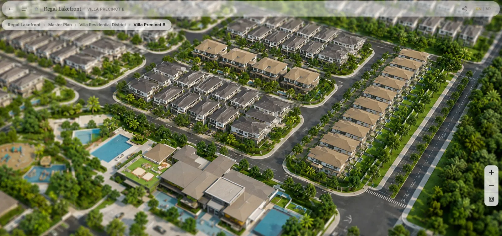
The subdivision layout becomes the interface. Every parcel is its own clickable region with its own boundary, drawn to match the actual layout drawing rather than approximated.
Current status per plot. Available, reserved, sold, or held, painted onto the parcel itself. A buyer reads the state of the whole phase in one glance, and so does your sales team.
The attributes that decide a land purchase. Plot size, frontage width, orientation, road access, corner or intermediate, and the price or price band you choose to publish. These sit on the parcel, not in a separate table.
Availability on the map itself. Which plots are still available, how large they are, and which way they face is visible on the parcels, so the answer is spatial rather than a list of numbers the buyer then has to locate.
Context that a list cannot carry. What is next to this plot, how far to the entrance, which lots back onto the reserve, where the future commercial parcel sits. Land value is relational, and the map is where relationships are visible.
Enquiry on the parcel. Register interest, request a callback, or open WhatsApp from the plot the buyer selected, so the enquiry arrives naming plot 214 rather than saying someone is interested in the project.
Sales and leasing are different products
Worth separating, because the same map shape serves both and the mechanics differ.
Land sales means a buyer acquires the parcel. The transaction is usually one-time, the inventory shrinks as plots sell, and the buyer's concern is title, size, and position.
Land and warehouse leasing is a different motion: recurring terms, tenant mix, build-to-suit parcels, and a business qualifying itself rather than a household choosing a home site. If that is your model, interactive land and warehouse leasing for logistics parks and free zones covers it directly, including the B2B enquiry fields that differ from a residential registration.
Same map, different inventory rules. Pick the one that matches how the parcel actually changes hands.
Where plot maps fit inside a bigger development
Most land does not sell in isolation. It sells inside a township, next to housing types, amenities, and phases that release over years.
That is why a plot map usually sits underneath a master plan rather than replacing one. The master plan carries the whole development and the navigation between its parts. A buyer moves from the full township into a land phase, and only then does the parcel-level view matter. Buyers exploring built product move into building and floor views instead, from the same starting point.
For developments running both, townships and mixed-use developments covers how the hierarchy holds together across phases.
If the vocabulary is still slippery, interactive site plan vs master plan vs property map sorts out which term means what. The complete guide to interactive property maps is the broader companion to this page.
Phased releases without a new microsite
Land is released in phases more often than buildings are, and the usual response is a new landing page per phase. Three phases in, you are maintaining three sites with three availability states and no shared analytics.
An interactive plot map handles this differently. Future phases can sit on the map as unreleased, visible in outline so buyers understand the shape of what is coming, without being enquirable. When the phase opens, the status changes and the same link carries it. The QR code on the site hoarding does not need reprinting, and buyers who registered interest in phase one land on the map already showing phase two.
One link that survives every phase beats a microsite per launch.
Who this suits
- Township land lots sold alongside built housing types
- Gated residential subdivisions where position drives the price spread
- Industrial and commercial land for sale, as distinct from leased parcels
- Resort and second-home land where orientation, view, and frontage carry most of the value
- Investment subdivisions released in phases over several years
What these share is that the product is a position on a map, the inventory changes, and the buyer's decision is comparative. Where those three hold, a static layout plan is doing less work than it looks like it is doing.
Related reading:
- Interactive Property Map for Real Estate Developers: The Complete Guide
- Interactive Land & Warehouse Leasing for Logistics Parks and Free Zones
- Site Plan vs Master Plan vs Property Map
- Interactive Master Plans for Townships and Mixed-Use Developments
- Interactive masterplan software for property developers
RegalScene turns subdivision layouts into interactive plot maps with live parcel status, buyer filters, and enquiries captured on the plot itself. See the platform or tell us about your project.